Global Perspective, Daily Insight, and Real-time Analysis with Planet’s Satellite Monitoring
WHAT IT IS

With Planet Monitoring observe areas of geographic interest, discover patterns, track infrastructure, and identify changes as they happen. From space, Planet Monitoring equips you with ground-truth data you need to make timely, informed decisions.
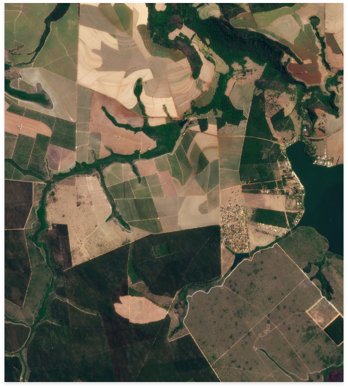
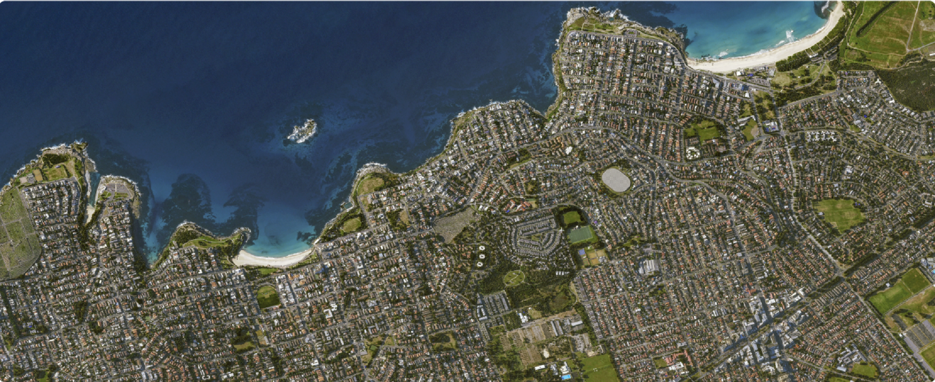
Planet Monitoring provides 3.7 meter resolution images of the entire Earth daily. Access to these ready-to-use images is made simple with Planet’s APIs, web application, and GIS integrations. Available through a subscription model, Planet Monitoring can be scaled to the requirements of your analysis and application needs.
KEY BENEFITS
Go Monitor validates the access to the broadest optical and radar satellite constellation. Therefore, it becomes easier to avail of the benefits. Besides relying on the team of application experts such as geologists, Micronet Solutions guarantees the following benefits:
MONITORING ON-DEMAND
In case of specific needs that clients define, surveillance on demand is possible by simply selecting the area of interest, timeline, and frequency. Once the client defines these parameters, it is essential first to analyze these parameters. This analysis shall help to tailor monitoring programs and implement them. Experts at Micronet Solutions shall set up a dedicated acquisition plan, select the appropriate sensors, and change the detection survey. These reports capture the minute details that can be useful for non-experts. Moreover, it is helpful for agencies and organizations who have their imagery analysts.
RELIABLE MONITORING SERVICES WORLDWIDE
GO Monitor is designed for professionals who need accurate and reliable terrain information. No matter how remote or inaccessible a site may be, with a daily revisit capacity and independent of weather conditions, GO Monitor delivers timely and regular imagery and change information, enabling users to monitor:

A WIDE RANGE OF ORGANISATIONS CAN BENEFIT FROM THIS TYPE OF SERVICE INCLUDING:
DID YOU HAVE OTHER QUERIES ?
Micronet solution is there to support your business. We are ready to deliver.
