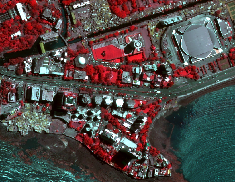
The Pléiades satellite constellation provides very high-resolution optical imagery that delivers an extremely high level of detail. Designed for civil and military users, the system is especially suited for emergency response and change detection.
ABOUT PLÉIADES

The identical Pléiades 1A and Pléiades 1B satellites deliver 50cm imagery products with a 20km swath. The product’s location accuracy and excellent image quality make it an ideal source for data for any civil or military project.
Both the space and the ground segment have been designed to provide data in record time, offering daily revisit capacity anywhere on the globe as well as an unrivalled reliability when it comes to collecting new images. Thanks to our innovative One Tasking Services commissioning Pléiades and obtaining the imagery exactly when you need it – rapidly and easily.
Offering an ideal trade-off between coverage, resolution and speed, Pléiades products are especially useful for applications in defence, civil protection, hazard management, urban mapping, precision agriculture and network and infrastructure administration.
DID YOU KNOW ?
Pléiades satellites are operated on the same orbit with the SPOT 6/7 satellites, as a 4-satellite constellation: an ideal combination of detail and broad coverage, with intraday revisit to any point on Earth and image availability within hours.
KEY FEATURES
SAMPLE IMAGES


PEOPLE ALSO SEARCH FOR THIS


DID YOU HAVE OTHER QUERIES ?
Micronet solution is there to support your business. We are ready to deliver.
