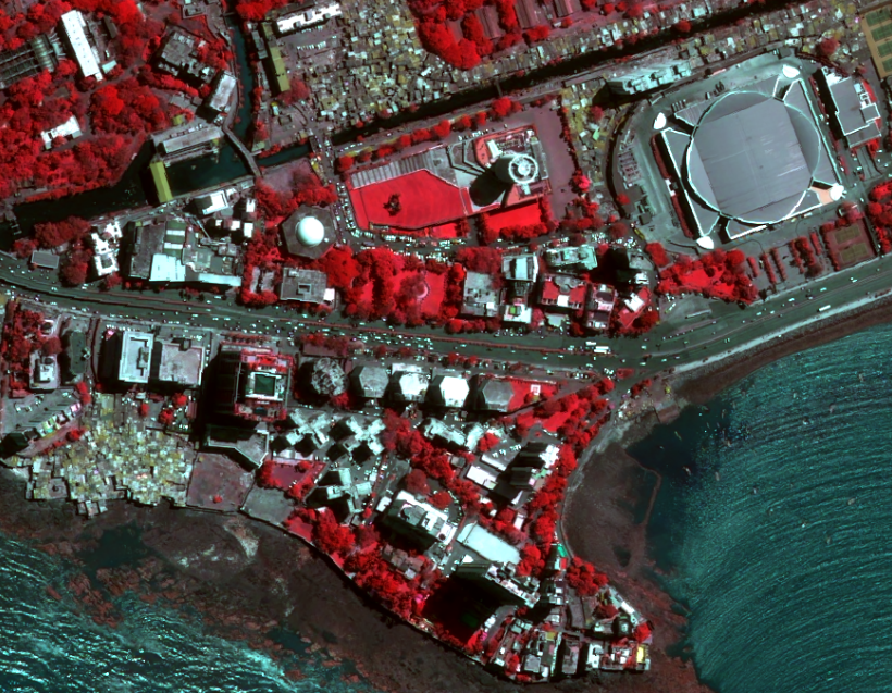
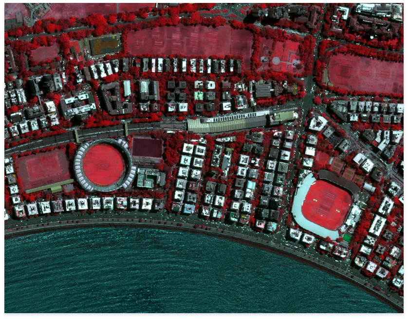
OneAtlas is the satellite imagery service from Airbus connecting satellite data and insights, aimed to help empower users with quickly available, accurate and reliable geospatial information. The service leverages the power of the Airbus constellation of satellites and adds flexible ways for users to get access and use the geospatial data. One Atlas consists of data services, analytics, and thematic services. The data allows users to access satellite imagery, global datasets, elevation data and 3D models. Access is available in a number of ways including streaming, download and API for easy integration into GIS workflows. The geospatial analytic services leverage expertise across the industry – enabling users to get the information and insights that they need and when they need it. The thematic services, leveraging the capabilities from the Airbus constellation of satellites, solve industry-specific problems. Users can integrate their data such that One Atlas shall enable teams, areas of interests, and assets to be planned, located, and mapped.
ONE ATLAS – THE SATELLITE IMAGE LIBRARY
KEY BENEFITS
SPOTMAPS
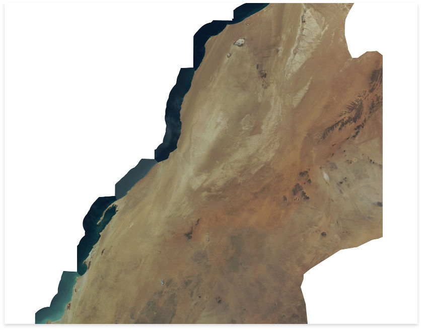
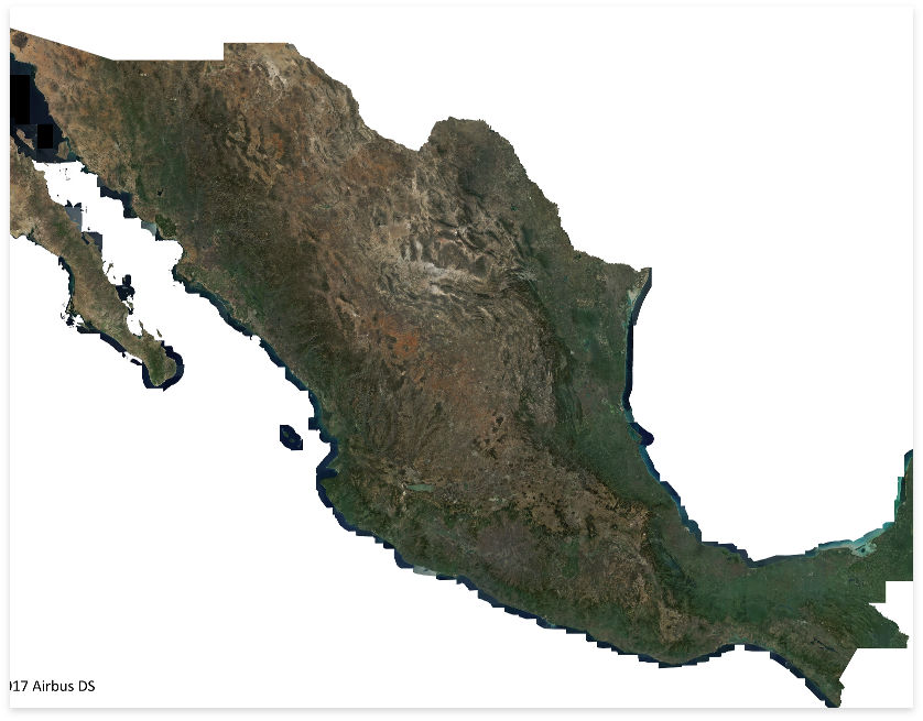
Airbus’ SPOTMaps mosaic products provide nationwide / regional seamless coverage. The orthorectified products are derived from colour imagery acquired by SPOT 5, 6 & 7 satellites. SPOTMaps are framed according to the area of the user, and are the ideal geographic reference for visualisation, mapping and planning needs. SPOTMaps products are available in 2.5 and 1.5 metres resolutions.
KEY FEATURES
KEY APPLICATIONS
Agriculture, mapping, defence, mining, civil engineering
GEO ELEVATION SERVICES
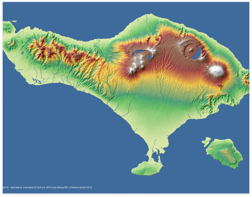
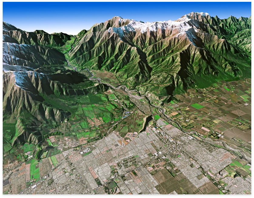
GEO Elevation product suite from Airbus offers a comprehensive elevation data range for various product needs, independent of relief and weather conditions. The scope of delivery can be adapted to individual needs by choosing to add a set of auxiliary layers or corresponding orthorectified images to the input data. Highly developed digital data processing flow line and a large production capacity allow for unique time and cost-efficient production and delivery.
The elevation data available:
Very High Resolution Elevation Data: Elevation 4 (2m vertical accuracy at 4m grid spacing); Elevation 1 (1.5m vertical accuracy at 1m grid spacing) High Resolution Elevation Data: WorldDEM™ (2m vertical accuracy at 12m grid spacing); Elevation 10 (5m vertical accuracy at 10m grid spacing); Elevation 8 (3m vertical accuracy at 8m grid spacing)
Medium resolution elevation data: Elevation 30 (8m vertical accuracy at 30m grid spacing)
KEY FEATURES
KEY APPLICATIONS
Image orthorectification, multi-scale mapping production, defence, air traffic security, hydrologic modelling, natural resource exploration, infrastructure and network planning
WORLDDEM™
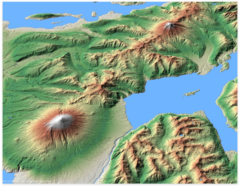
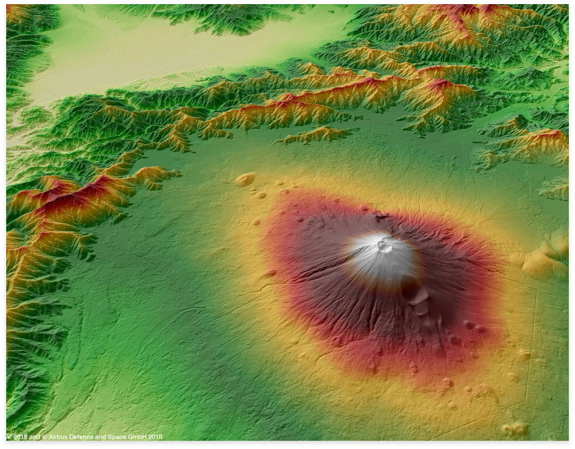
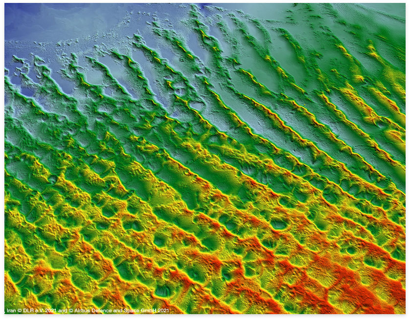
WorldDEM™ and WorldDEM™ Neo are high accuracy global satellite-based digital elevation models (DEM) available. With unique data quality and level of detail, both elevation models facilitate a wide range of applications such as line-of-sight analysis, hydrological modelling, satellite imagery orthorectification, and much more.
KEY FEATURES
AVAILABLE AS
RADAR MOSAICS
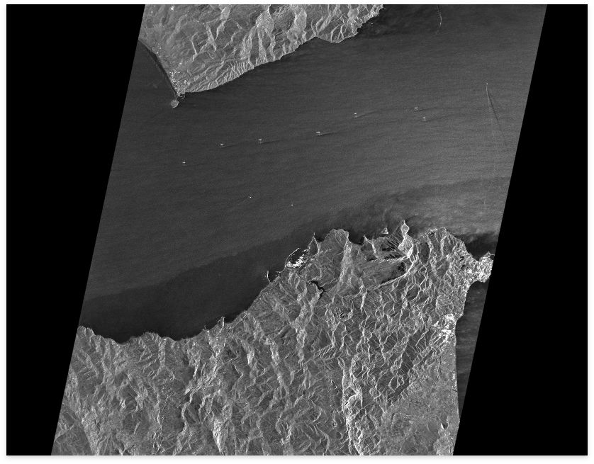
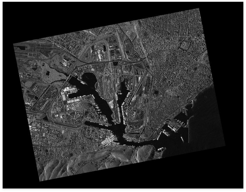
A Radar Mosaic is a seamless assembly of images such that it appears a single and harmonized dataset. ORISAR, EEC, or GEC are some of the possible input products that shall help in the radiometric adjustment of all these scenes. As a result, there is a homogenous image mosaic. For mosaicing, it is possible to utilize the following processing options:
Micronet Solutions offers the finest platform for Radar mosaics data services.
FOUNDATION LAYER
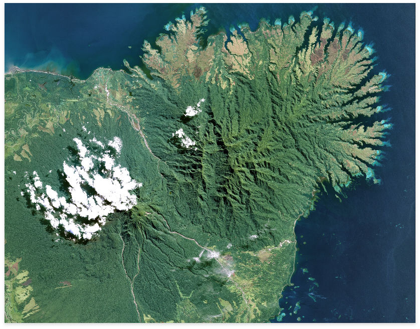
Foundation layers are the mechanisms that display geographic datasets. Each of these layers references a dataset. The layers specify how the dataset portrays with use of some symbols and text labels.
Each map, scene document, or globe assembles by adding a series of layers in a particular order. The table of contents list the order of the documents. The layers that the table of contents lists at the bottom appear first. Following the bottom layers are the other layers that lie above them. As a product, foundation layers take advantage of high accuracy and high coverage rates of the Airbus Defence and Space’s multi-resolution satellite constellation. Consequently, the foundation layers help to collect over 20 million km2 of data daily. This data has a resolution of 0.5m to 2.5m for any point on the Earth.
This Foundation Layer product takes advantage of the combined frequent revisit, high accuracy and high coverage rates of the Airbus Defence and Space’s unique multi-resolution satellite constellation, capable of collecting over 20 million km² of data every day, at resolutions from 0.5m to 2.5m, for any point on Earth.
FOUNDATION LAYERS AVAILABLE
DID YOU HAVE OTHER QUERIES ?
Micronet solution is there to support your business. We are ready to deliver.
